GEOSPATIAL
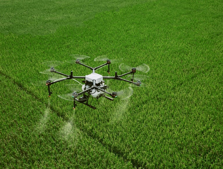
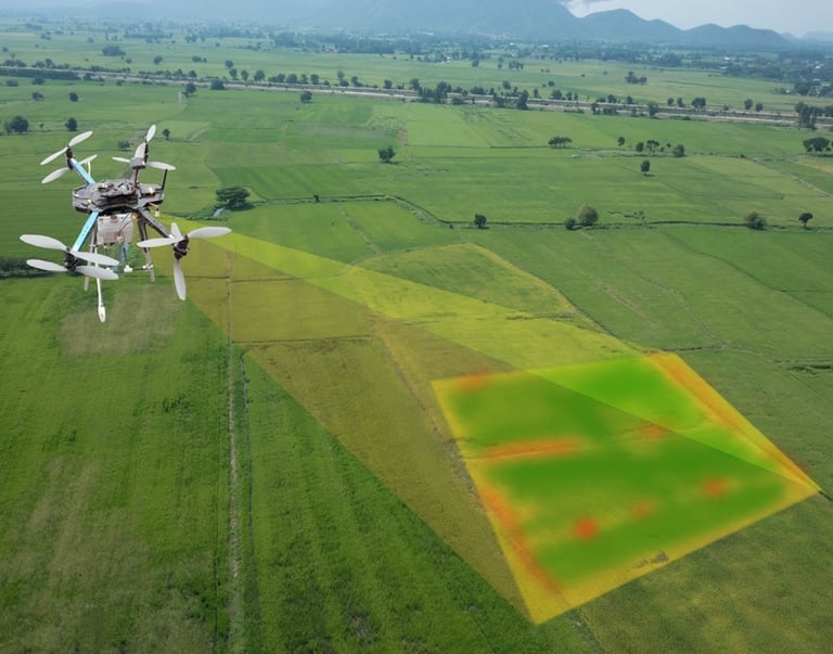
Our drones quickly collect accurate and georeferenced data, while our photogrammetry software experts process this data to provide standardized outputs.
Our high-resolution drone solutions increase the speed and efficiency of data collection to produce accurate maps on the scale required.
XplorGeo is a specialist in cadastral and topographic surveys
We provide the following renderings:
· Orthomosaic map
· Point clouds
· 3D mesh map
· Cadastre maps
· Contour lines
· Digital Elevation Models
· Digital Surface Model
· Digital Terrain Model
SURVEY
Drone data creates accurate 2D and 3D models that integrate seamlessly with local geographic information systems, allowing teams to visualize results.
XplorGeo designs and plans 3D reality models more effectively which accurately reflect terrain and architectural information.
Rapid flyover of cities or rural areas to capture data using automated flights, thus reducing costs and hours of field work and easy:
Mapping and planning of cities
The urban-rural classification
Mapping of corridors
spatial and urban planning
XplorGeo maps, models and inspects your construction and infrastructure projects using drone solutions, allowing you to automate the workflow and digitize your resources.
Architect
Our 2D and 3D maps will allow your teams to optimize project planning and design.
Monitoring the progress of construction sites
Our maps will help your teams stay fully informed of site progress and resource allocation, keeping projects on time and on track.
Buildings Inspection and maintenance
XplorGeo quickly maps and models buildings to digitize the inspection and maintenance process, reducing costs while ensuring staff safety.


