equipments

Ebee X

eBee X is compatible with a wide range of interchangeable photogrammetry cameras that capture reliable aerial imagery – from 3D models to orthomosaics – to suit every mapping job.

With the on-demand RTK / PPK capabilities of survey drone eBee X, you can gather data without ground control points (GCPs) while maintaining a GSD down to 1.5 cm .

Operate safely within more regulatory frameworks thanks to the eBee X’s light weight, which extends your operational possibilities – BVLOS and flights over people – and range.

Efficiently map up to 500 ha while flying at 120 m eBee X flight time of up to 90 min* makes it the perfect drone for covering large areas.

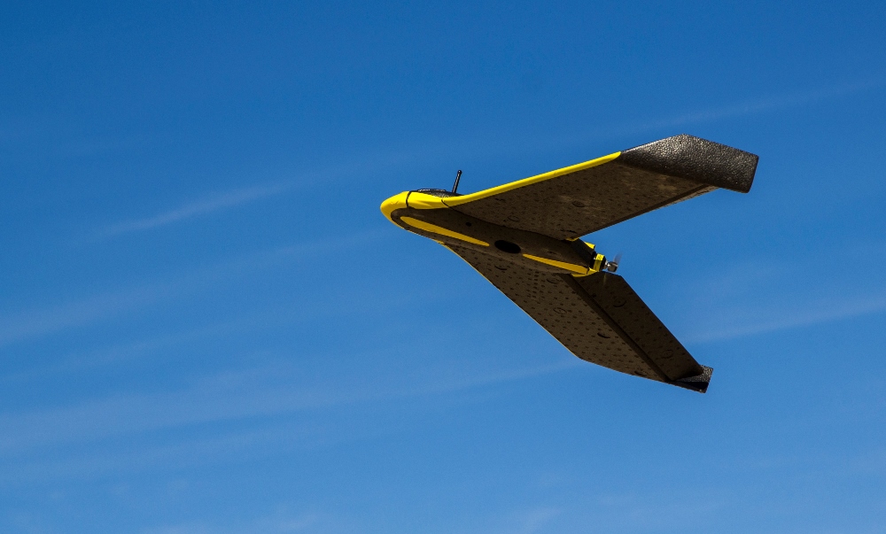
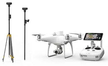
DJI Phantom 4 RTK & Multispectral

The Phantom 4 RTK and Multi-Spectral are two most compact enterprise drones to date.

The Phantom 4 RTK is a very high quality and accurate low altitude mapping solution with D-RTK base stations to improve accuracy up to 1.5cm.

The Phantom 4 Multispectal gathers precise plant-level data. The drone is built for agriculture missions, environmental monitoring and a lot more. The RTK module on the top allows for an accurate flight.

Best-in-class automated total station for the widest variety of measurement tasks and applications: including one-person or two-person instrument operation for surveying and stakeout.

Topographic surveying to create digital reality for mapping: control point measurements, adjustments, computations, and data collection with powerful coding and line work routines.

Highest efficiency and productivity for stakeout and construction measurements: stakeout design data, as-built checks, BIM and clearance checks.

Site preparation and machine guidance in heavy construction projects: site control, surveying, layout of design data, as-built checks, machine guidance, and road, rail and tunnel-focused workflows.

Quick and reliable monitoring of locations, buildings, and objects in real-time in any environment: perfect for campaign monitoring and scaling up to an automated monitoring solution.

Leica TS16: Robotic Total Station

softwares

XplorGeo has a wide range of software specialized in data management, analysis and interpretation in the following fields: mineral exploration, modeling & resource estimation, remote sensing, geographic information system and photogrammetry.